Accuracy
Capture and documentation are structured around the required project outcome and level of detail.
3D Geomatics & Reality Capture for architecture, construction, industry and the built environment.
3D Point Meta combines surveying, reality capture, point cloud processing, 2D documentation, BIM and 3D modeling into one connected workflow.
We work from the conditions that exist on site: capture what is there, organize the data, then deliver the level of information the next stage of the project actually needs.
Our approach is technology-led but outcome-focused. The goal is not simply to create a scan; it is to make the captured environment useful.
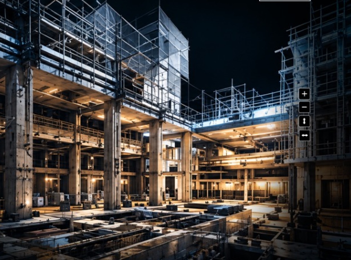
Capture and documentation are structured around the required project outcome and level of detail.
Keep the relationship between the physical environment, captured data and final deliverable clear.
Choose the right combination of scanning, UAV, photogrammetry, drawing and modeling for each project.
Tell us about the space, the level of detail you need and your timeline.